Artificial Intelligence
AI Model Used To Map Dryness Of Forests, Predict Wildfires
A new deep learning model designed by researchers from Stanford University leverages moisture levels across 12 different states in order to assist in the prediction of wildfires and help fire management teams get ahead of potentially destructive wildfires.
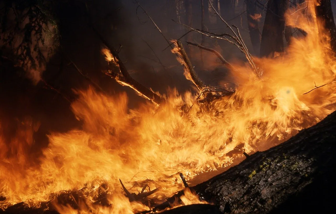
Fire management teams aim to predict where the worst blazes might occur, in order that preventative measures like prescribed burns can be carried out. Predicting points of origin and spreading patterns for wildfires mandates information regarding fuel amounts and moisture levels for the target region. Collecting this data and analyzing it at the speed required to be useful to wildfire management teams is difficult, but deep learning models could help automate these critical processes.
As Futurity recently reported, researchers from Stanford University collected climate data and designed a model intended to render detailed maps of moisture levels across 12 western states, including the Pacific Coast states, Texas, Wyoming, Montana, and the southwest states. According to the researchers, although the model is still undergoing refinement it is already capable of revealing areas at high-risk for forest fires where the landscape is unusually dry.
The typical method of collecting data regarding fuel and moisture levels for a target region is by painstakingly comparing dried out vegetation to more moist vegetation. Specifically, researchers collect vegetation samples from trees and weigh them. Afterwards, the vegetation samples are dried out and reweighted. Comparisons are made between the weight of the dry samples and the wet samples to determine the amount of moisture in the vegetation. This process is a long, complex one that is only viable in certain areas and for some species of vegetation. However, the data collected from decades of this process has been used to create the National Fuel Moisture Database, comprised of over 200,000 records. The fuel-moisture content of a region is well known to be linked to the risk of wildfire, though it’s still unknown just how much of a role it plays between ecosystems and from one plant to other plants.
Krishna Rao, PhD student in earth systems science at Stanford was the lead author or the new study, and Rao explained to Futurity that machine learning affords researchers the ability to test assumptions about links between live fuel moisture and weather for different ecosystems. Rao and colleagues trained a recurrent neural network model on data from the National Fuel Moisture Database. The model was then tested by estimating fuel moisture levels based on measurements collected by space sensors. The data included signals from synthetic aperture radar (SAR), which is microwave radar signals that penetrate to the surface, and visible light bouncing off the planet’s surface. The training and validation data for the model consisted of three years of data for approximately 240 sites across the western US starting in 2015.
The researchers ran analyses on various types of land coverage, including sparse vegetation, grasslands, shrublands, needleleaf evergreen forests, and broadleaf deciduous forests. The model’s predictions were the most accurate, most reliably matched the NFMD measurement, on shrubland regions. This is fortunate, as shrublands comprise approximately 45% of the ecosystems found throughout the US west. Shrublands, particularly chaparral shrublands, are often uniquely susceptible to fire, as seen in many of the fires that burned throughout California over recent years.
The predictions generated by the model have been used to create an interactive map that fire management agencies could one day use to prioritize regions for fire control and discern other relevant patterns. The researchers believe that with further training and refinement the model could.
As Alexandra Konings, assistant professor of earth systems science at Stanford, explained to Futurity:
“Creating these maps was the first step in understanding how this new fuel moisture data might affect fire risk and predictions. Now we’re trying to really pin down the best ways to use it for improved fire prediction.”


